The best place to see the effect the seigneurial system had on the landscape of Orléans Island is at Saint-François. Narrow plots of land stretched inland from the St. Lawrence River to provide every farmer with direct water access.

Seigneurial plots of land Observation tower
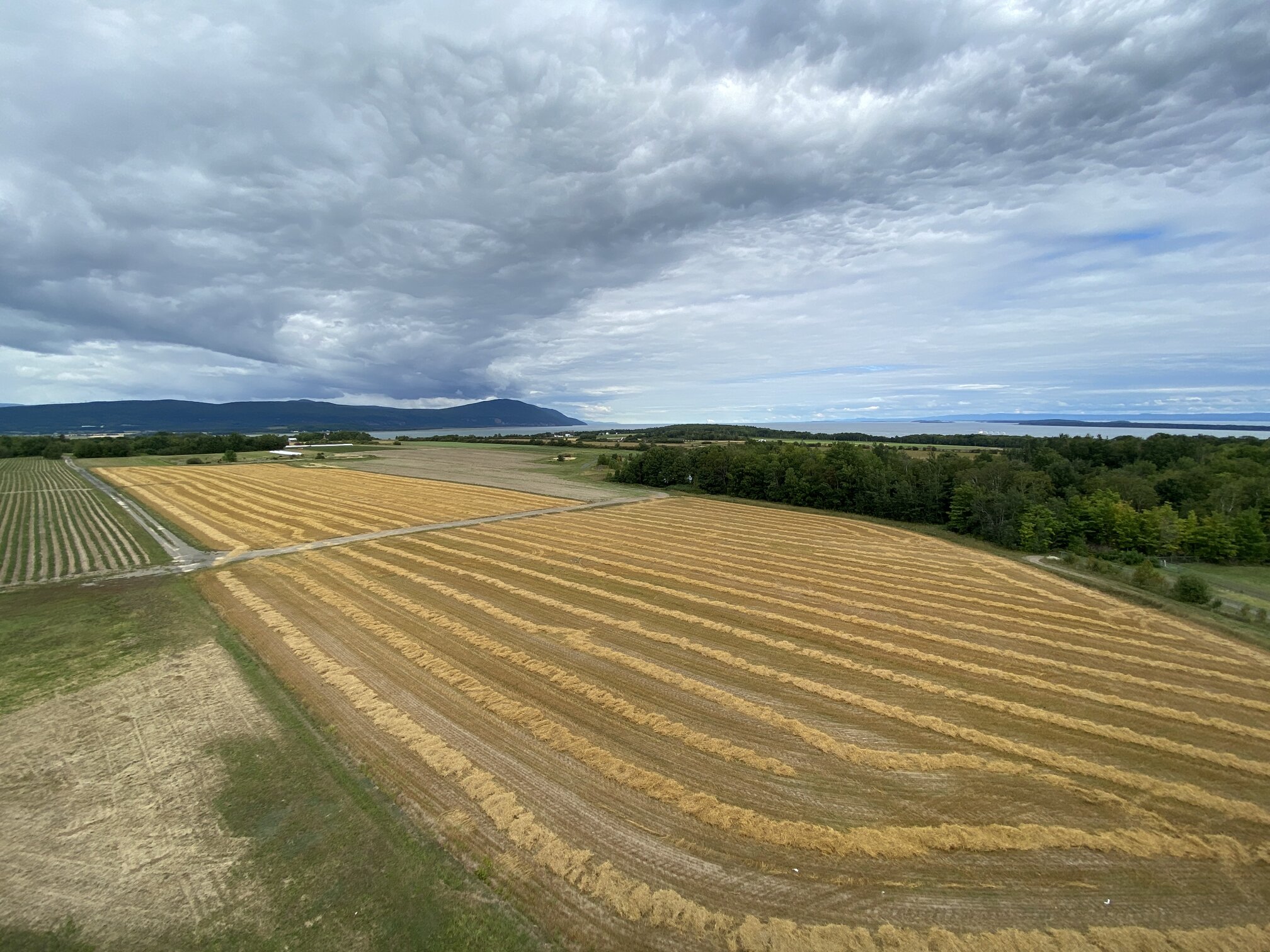
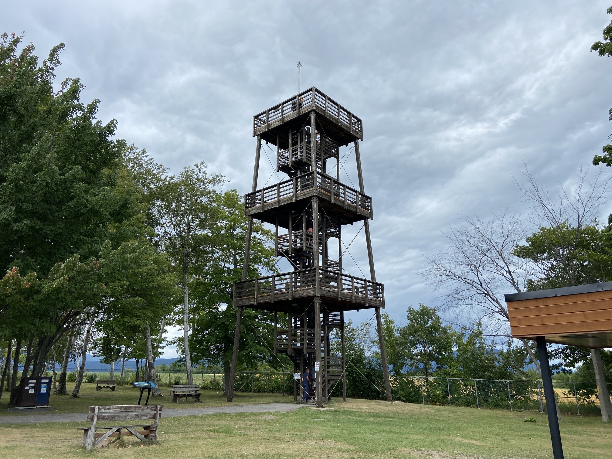
The wooden observation tower at the tip of the island gives visitors the best view of the shape of the plots of land. You can see out to neighbouring islands and the Laurentians and Appalachians on the mainland. Saint-François is where the river meets the sea and salt and freshwater mix together at the world’s largest river estuary. Snow geese rest here as they travel between the US and the Arctic every year.
Shale reefs on Orléans Island and neighbouring islands are visible during low tide and hidden during high tide. These are some of the most dangerous waters in the 3000km-long river system so captains have to know the underwater geography well to traverse safely.